Unearthed Heritage
Supporting cultural heritage management and compliance.

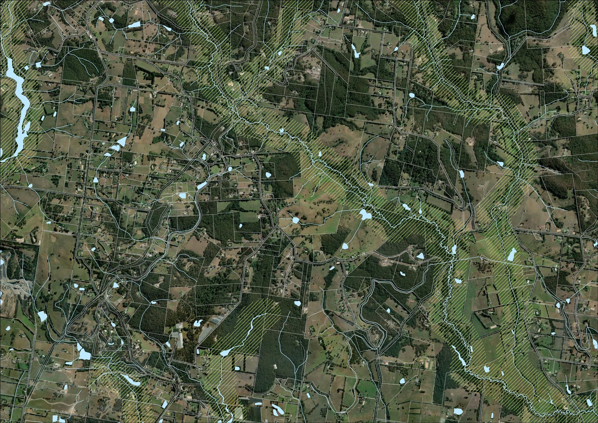
Delivering geospatial mapping and analysis to support Unearthed Heritage’s work—contributing to the safeguards that protect Aboriginal cultural heritage in land use and development.
Challenge
Mapping and geospatial analyses play an essential role in cultural heritage assessment and compliance instruments, such as Cultural Heritage Management Plans (CHMPs), used in land use planning and development. To provide geographic context, visualise sensitive areas, support early decision-making, and provide the spatial clarity needed for compliance, consultation, and risk avoidance.
Solution
CreateBig provides expert GIS support to Unearthed Heritage, including professional cartographic production, spatial analysis, and geoprocessing services. Our team manages a range of diverse built, environmental, biophysical and land cover datasets, as well as securely and respectfully managing sensitive heritage data.
Impact
Our cultural heritage GIS services support Unearthed Heritage to deliver clear, accurate, and culturally informed assessments. By integrating geospatial products and analysis into CHMPs and Due Diligence processes, we help bridge planning, policy, and Traditional Owner knowledge—strengthening decisions and fostering respectful, collaborative engagement.